The following will be rewarded for the XTERRA Comapedrosa Vertical 8K:
Overall Champion
Junior (18, 19 and 20 years old on December 31, of the year of the race)
Veterans (from 40 years old on December 31, of the year of the race)

July 25, 2026 | Arinsal
Run
8K
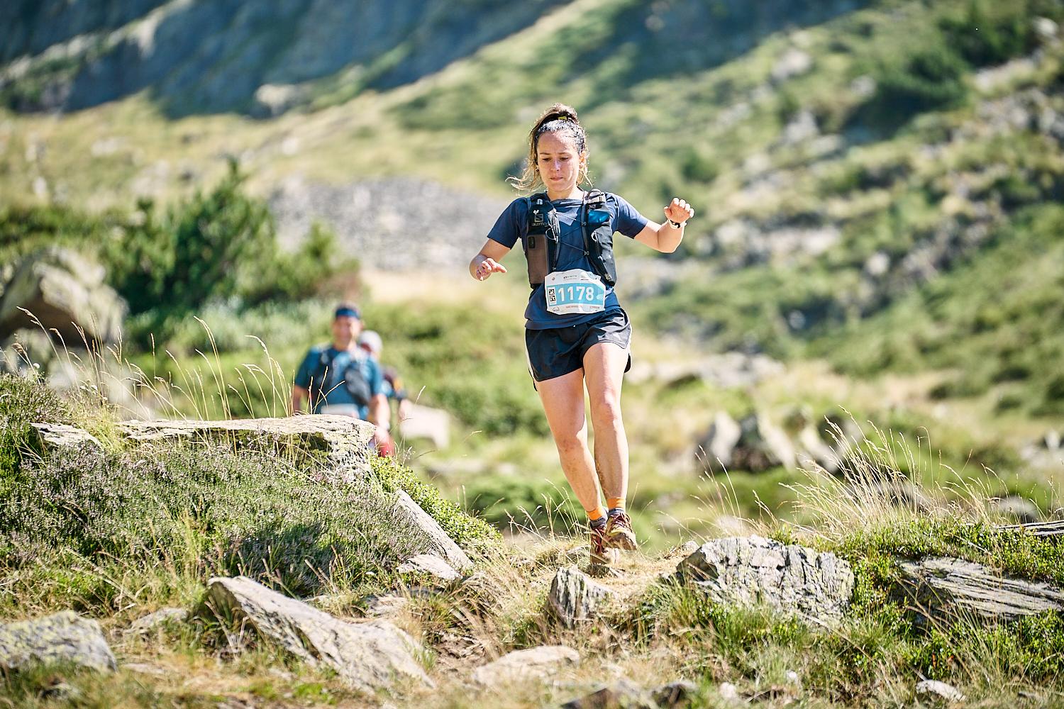
A spectacular route through the surroundings of Arinsal and the peaks, ridges and forests of the Communal Natural Park of the Comapedrosa Valleys. A demanding test that will make lovers of this type of test enjoy themselves to the fullest and that, obviously, will lead them to crown the roof of the Country of the Pyrenees, at 2,953 altitude where the goal will be located.
Run: 8K 1500m+
All Finishers
The following will be rewarded for the XTERRA Comapedrosa Vertical 8K:
Overall Champion
Junior (18, 19 and 20 years old on December 31, of the year of the race)
Veterans (from 40 years old on December 31, of the year of the race)
Registration from Nov 10th, 2025 - Jul 22nd, 2026.
| Description | Fee |
|---|---|
| Date until 11:59 PM 1/30/2025 | 14 € |
| Date until 11:59 PM 5/29/2026 | 17 € |
| Date until 11:59 PM 7/22/2026 | 20 € |
Registration closes on July 17th 23:59
Starting in the town of Arinsal, the route enters the Comapderosa Natural Park in a westerly direction following the course of the Pallas and Comapderosa rivers. After passing the Collet de Comapedrosa (km4.5) very close to the Comapedrosa Refuge, continue out of the forest until km6 where the itinerary turns north through stony and vertical terrain in some sections, until reaching the top of Comapedrosa (2,943m). ) where we will find the goal.